We live just south of the North Cascades National Park, so we take day trips up there a few times a year. The highway through the park is closed all winter, due to the high elevation, heavy snowfall, and less need (there are two other cross-state highways for big trucks to use). The road just opened last week, so we decided to drive up and see what we could see, from our favorite spot, the Diablo Lake Overlook. We didn’t leave home until late in the afternoon, so the sun was low in the west.
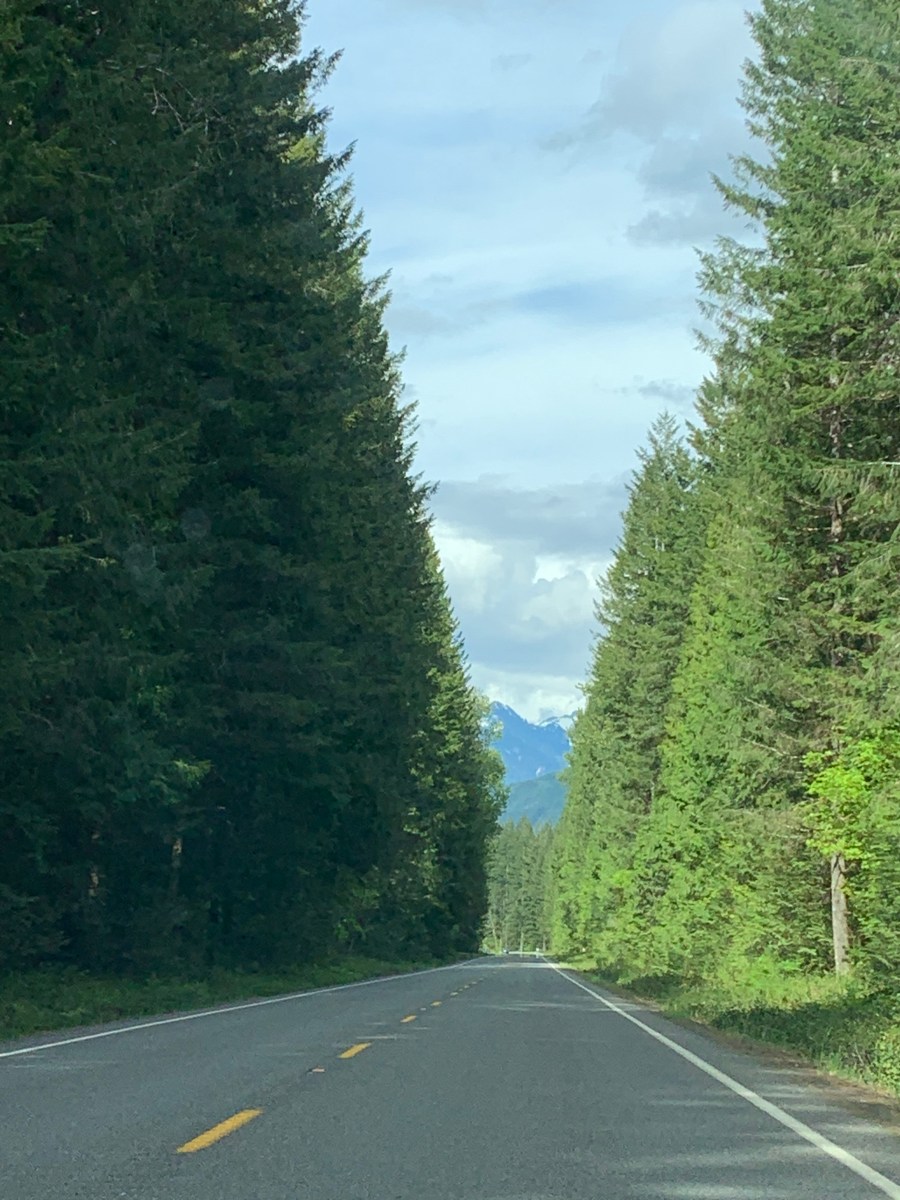
I believe this is the earliest in the season that we have gone there, and there was considerable snow still on the surrounding peaks. To get there, we took the “scenic route”, through the towns of Arlington and Darrington, via State Highway 530. This was the road just outside of Darrington.

This is how Washington got its name, the Evergreen State. Darrington is a big logging town. The town closest to the park is Newhalem, where the workers who mind the dams live for the spring-summer season. We were very disappointed to find that the restrooms and visitor center there were closed, “Due to Covid”. They did put out porta-potties for those of us who normally stop there on the way to the park. Yuck. I gritted my teeth and cursed the Dictator in Olympia.
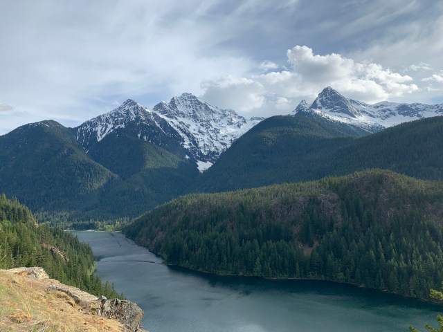
When we arrived at the overlook, the parking lot was pretty empty, but the views had not changed much. The waters of Diablo Lake are most often blue-green in color, due to the dissolved minerals from the surrounding mountains and spring runoff from glaciers; but this time, the green color was absent. The mountains, however, still had a considerable amount of snow on them.
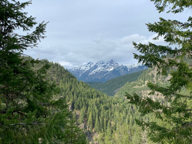
This is the view looking to the West.

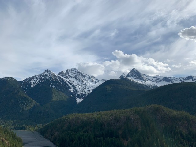
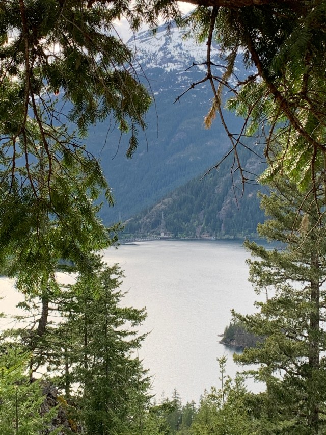
This is the view looking to the East. At the lake there is a big campground, and later in the season you see kayakers and swimmers down there.
I love the green-carpeted hillsides, and you can still see glaciers on the mountains.
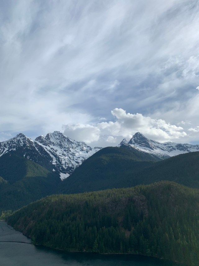
The clouds over the mountains were pretty spectacular, too. The mountain on the right is Pyramid Peak (gee, I wonder how it got its name!). There is also a Pyramid Lake, the trail to which is just down the road, near the campground.
In the picture below, you can see Diablo Dam in the distance to the left. The dams are on the Skagit River, and provide electricity to Seattle and vicinity.
I walked to the end of the parking lot, and got a picture of Liberty Bell Mountain to the Northeast. The highway ends up in the town of Winthrop, in the Methow Valley, one of the prettiest parts of Washington State.
But I also noticed some bad news at the overlook. Many Western forests have been ravaged by a bark beetle, due to poor forest management (not thining trees or removing dead ones), and our area has not escaped.

This poor little tree is showing the characteristic red color of bark-beetle damage. Other trees at the overlook show the same damage.
Aside from that, we had a nice drive, and will probably come back later in the season and bring lunch.
